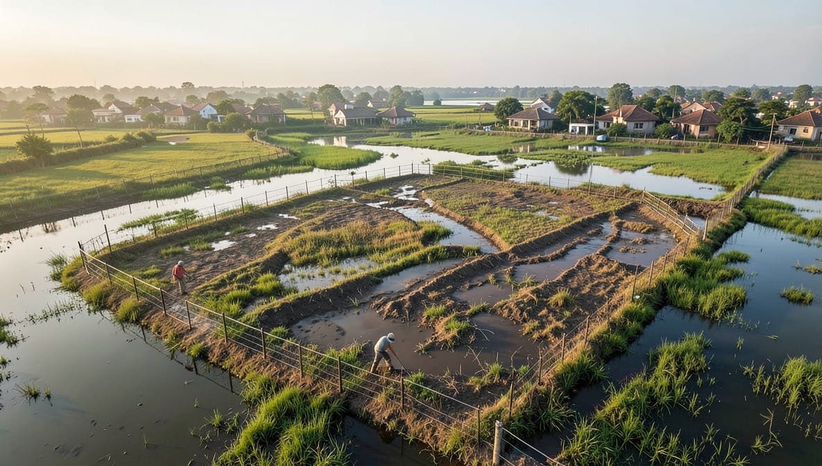

The National Green Tribunal has delivered a decisive ruling compelling the Government of NCT of Delhi and Delhi Development Authority to expedite the physical demarcation of the Yamuna’s floodplain, rejecting prolonged timelines and affirming that scientific data must translate into on-ground action. This judgment reinforces the principle that environmental protection cannot be deferred under bureaucratic inertia, especially when public safety and ecological integrity are at stake.
Background & Facts
The Dispute
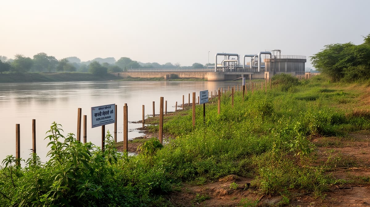
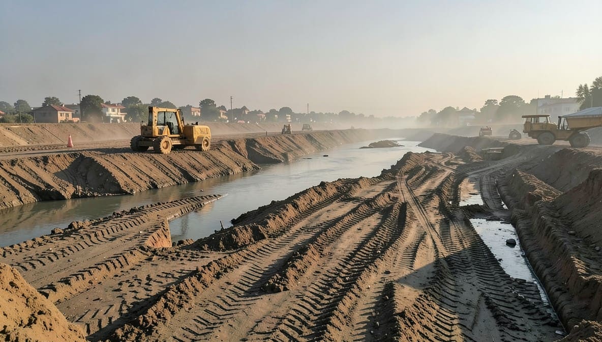
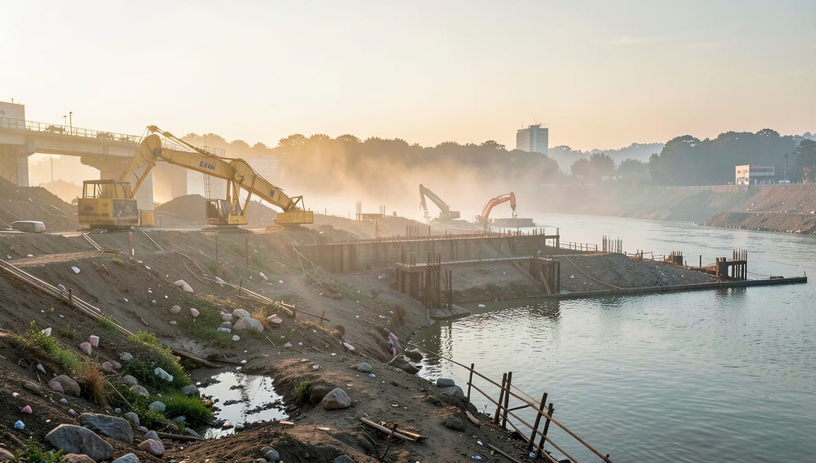
The petitions arise from the failure of multiple agencies to demarcate the 22-kilometer stretch of the Yamuna River’s floodplain in Delhi, from Wazirabad to Palla, despite repeated directives from the National Green Tribunal. The issue gained public attention through media reports highlighting recurring floods and the absence of legally recognized floodplain boundaries, which have led to unauthorized construction, encroachment, and loss of life and property.
Procedural History
- 2023: Original Application No. 537/2023 filed citing media reports on flooding and lack of floodplain demarcation.
- 2024: Original Application No. 572/2024 filed referencing The Hindu article on delayed compliance with prior NGT orders.
- August 2025: NGT directed GNCTD and DDA to demarcate floodplain using 1:100-year flood level with 1-meter contour data from Survey of India, referencing precedents from Ganga floodplain demarcation.
- September - December 2025: Multiple status reports submitted, revealing reliance on outdated DEM data (2007 - 2008), lack of ground truthing, and delays in data procurement from Airbus.
- February 2026: Tribunal reviews compliance and finds the proposed August 2026 deadline unreasonable.
Relief Sought
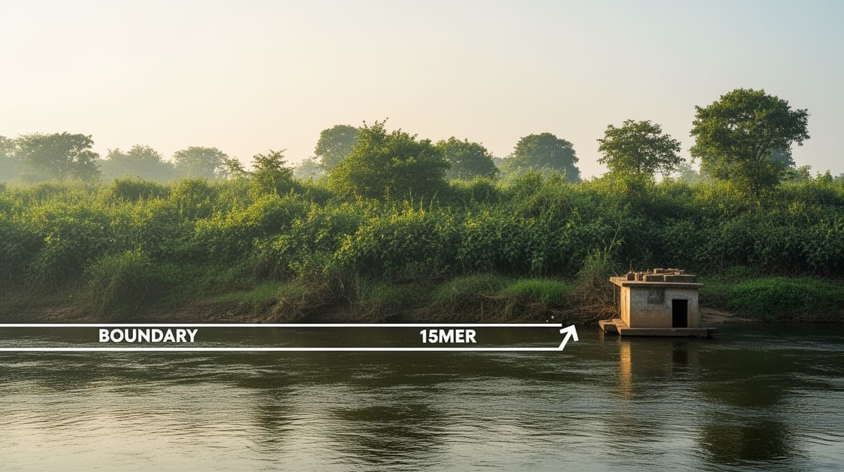
The applicants sought immediate physical demarcation of the floodplain through ground-level pillar installation and mapping, in compliance with the 1:100-year flood level with 1-meter contour standard, to prevent further encroachment and ensure disaster preparedness.
The Legal Issue
The central question was whether environmental authorities can delay critical floodplain demarcation for over two years on grounds of technical limitations, despite having received authoritative topographical data from the Survey of India, and whether procedural delays in implementing court-mandated environmental safeguards violate the principle of sustainable development under Article 21 of the Constitution.
Arguments Presented
For the Petitioners
The petitioners argued that the 1:100-year flood level with 1-meter contour data from the Survey of India was sufficient and had been successfully used in other states for immediate ground demarcation. They cited M.C. Mehta v. Union of India to assert that environmental protection is non-negotiable and that delays in implementing court orders constitute a violation of the right to life. They emphasized that digital maps without ground truthing are legally and practically inadequate.
For the Respondents
The respondents, including GNCTD, DDA, and CWPRS, contended that technical gaps in the Survey of India data - particularly a 28.3 km stretch between Burari Garden and Okhla Bird Sanctuary - required procurement of new satellite data from Airbus, which would take 45 days, followed by five months of analysis. They argued that the complexity of hydrological modeling and lack of skilled personnel justified the extended timeline.
The Court's Analysis
The Tribunal rejected the respondents’ justification as legally insufficient. It noted that other states had completed similar demarcation within months using the same Survey of India data, demonstrating that the delay in Delhi was not technical but administrative. The Court emphasized that digital mapping alone, without ground truthing, does not satisfy legal or environmental obligations.
"We find that for other stretches in other States, the exercise of completing the ground truthing, putting of pillar and demarcation of flood plain of the river at the ground level has been completed expeditiously without any delay after receipt of the details from the Survey of India."
The Tribunal held that the principle of sustainable development and the precautionary principle under the Environment Protection Act, 1986, demand immediate action when public safety is at risk. The Court distinguished the respondents’ reliance on CWPRS’s study as irrelevant, since the demarcation mandate was based on existing Survey of India data, not on new scientific assessments. The Tribunal further observed that bureaucratic inertia cannot override judicial mandates designed to protect ecological and human life.
The Verdict
The petitioners succeeded. The National Green Tribunal held that floodplain demarcation must be completed on the ground within a reasonable timeframe, rejecting the August 2026 deadline. It directed the GNCTD to file a revised report within two weeks proposing a shorter, actionable timeline for physical demarcation using the Survey of India’s 1-meter contour data.
What This Means For Similar Cases
Ground Truthing Is Mandatory, Not Optional
- Practitioners must now insist on physical verification and pillar installation in all environmental demarcation orders, not just digital maps.
- Courts will no longer accept delays based on alleged data gaps if authoritative data already exists and has been used successfully elsewhere.
Administrative Delay Is Not a Legal Defense
- Government agencies cannot invoke procedural complexity to evade compliance with environmental court orders.
- The burden of proof shifts to the state to demonstrate why a timeline is reasonable - mere assertions are insufficient.
Precedent from Other States Is Binding
- NGT has affirmed that compliance standards applied in one state are binding benchmarks for others under identical statutory mandates.
- Practitioners can cite this judgment to challenge delays in floodplain, forest, or wetland demarcation across India where similar data is available.